
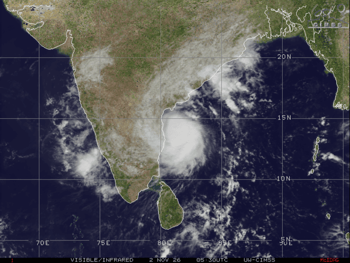
A severe cyclone named Murasu is reportedly moving towards the Andhra Pradesh coast, with a possible landfall around midnight on November 2.
According to the supplied update, the storm was located around 120 km east-southeast of Nellore at 11:30 AM on Monday. It was moving west-northwest at a speed of 14 kmph. Weather radars in Chennai, Machilipatnam and Visakhapatnam were tracking the system.
The forecast warns of a storm surge of 1 to 1.5 metres, which could flood low-lying areas in Bapatla, Krishna and Prakasam districts. Heavy rainfall of 200 to 400 mm is also expected over the next 24 to 36 hours.
The areas mentioned in the rainfall warning include Prakasam, Guntur, Palnadu, Vijayawada, Bapatla and Krishna. The expected rainfall could lead to flooding and disruption in affected areas.
Meanwhile, Odisha has reportedly started evacuation measures following damage caused by recent cyclones. Residents across the affected regions are closely monitoring weather updates and safety instructions.
People in the coastal and low-lying areas should follow official weather alerts and instructions from local authorities. The exact landfall location, timing and intensity may change as the weather system moves closer to the coast.